On the Trail of Dreams
Cleveland couple rides, maps Ohio-to-Erie Trail
By Stephen Carter-Novotni · June 6th, 2012 · News
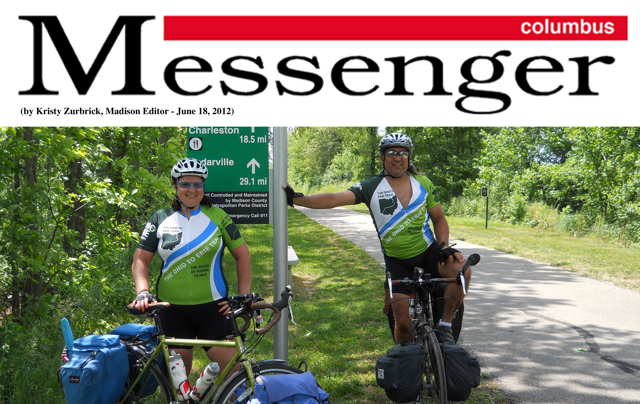
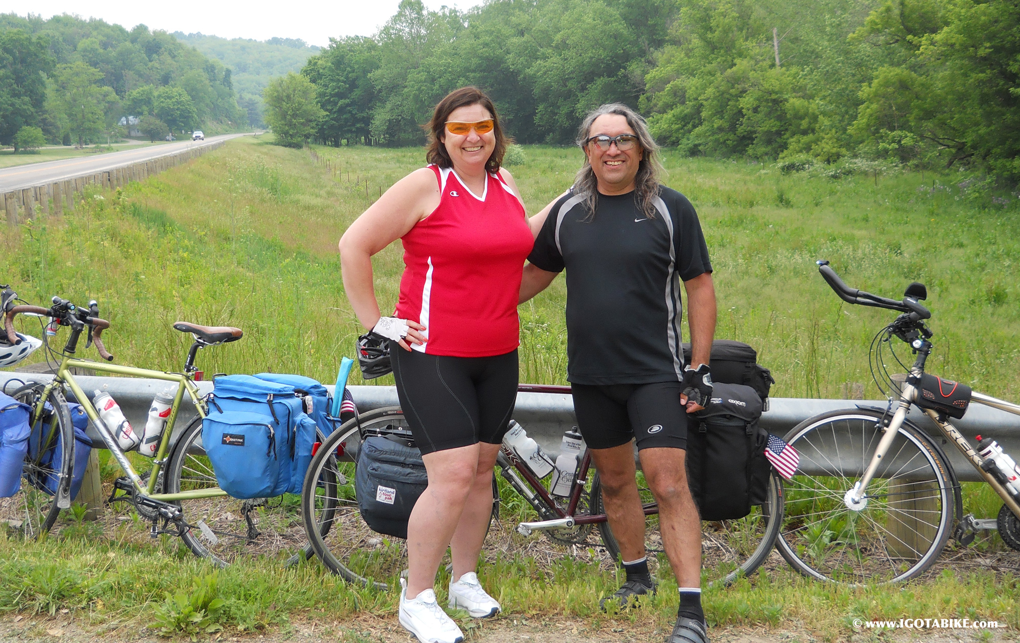
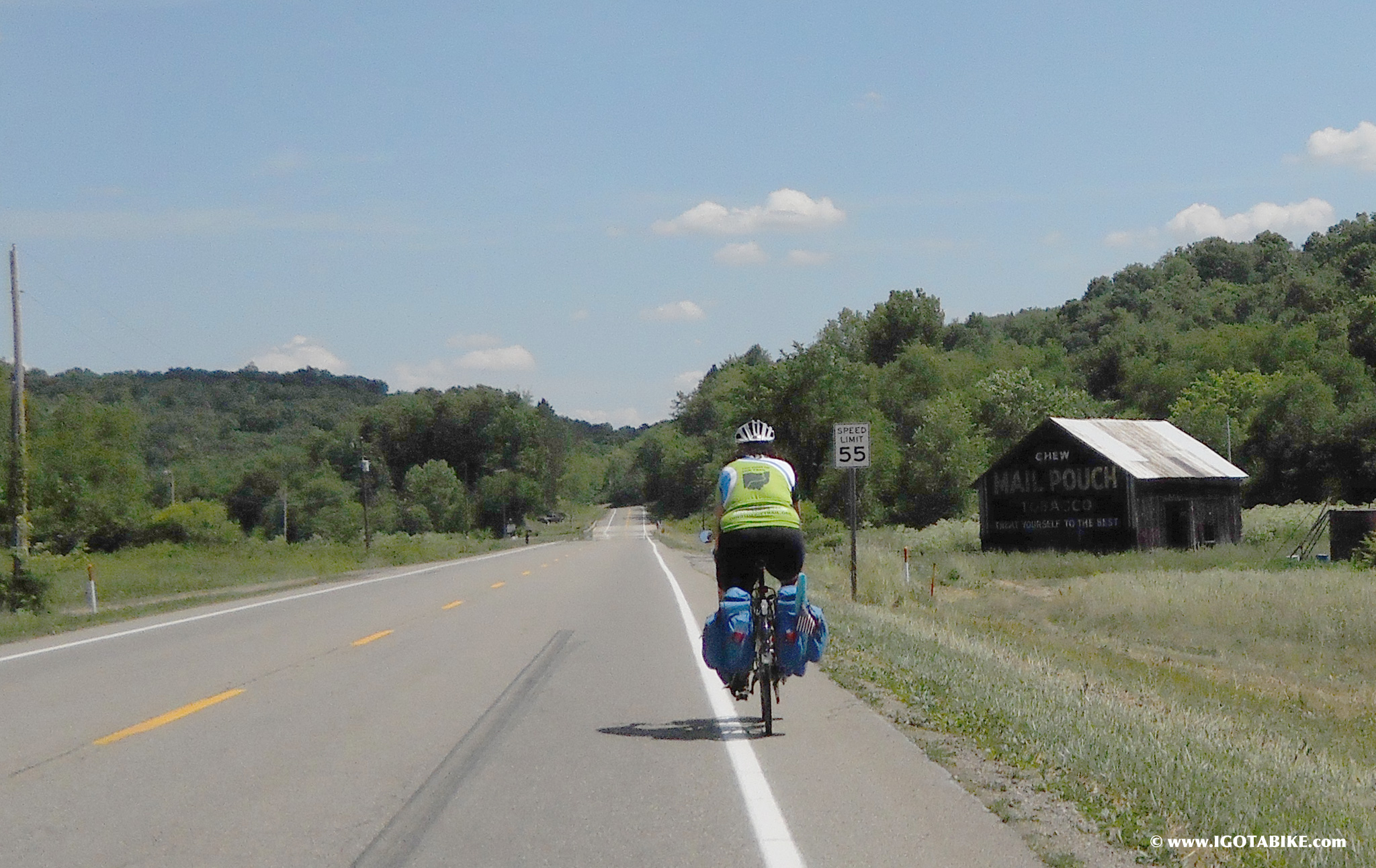
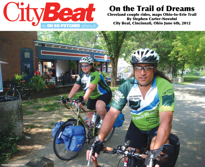
Carolyn Lewis Cocchiarale and her husband Guy Cocchiarale are easy to spot on the Loveland Trail. They’re wearing bright green jerseys that proudly trumpet their route from Cleveland to Cincinnati: “Ohio to Erie Trail.” We meet on a blazing hot Saturday, May 26, in full sun. They’re glad to get out of the heat for awhile. They have been riding a full week at this point, more than 300 miles, and have completed most of the grunt work involved in mapping the state’s longest bicycle route.
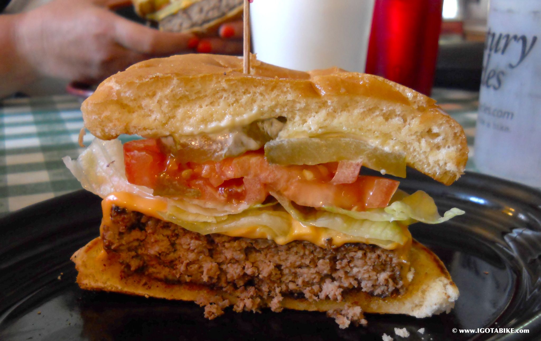
Carolyn emphasizes that they’re normal people — not athletes. She, a graphic designer, is 48 years old. Guy is 50 and a sound engineer. We meet at Paxton’s Grill, a trailside pub in Loveland. The couple orders burgers and beers. Riders have to eat and eat well to keep up their energy — but not too well; bland health food would suck all the fun out of it. I break the ice by telling them how I forgot to eat when I first tried to navigate the trail and how I paid for my error.
“We did the same thing, had an apple, maybe a Power Bar the whole way from London (just west of Columbus),” Carol says. “It was tough. It was really windy that day and there are these two guys that are like big time promoters of the trail in London and so they rode up to the Darby Creek Metroparks and met us. They escorted us in. The one guy must be like 90 and he totally had more power than I did. Of course I’m loaded, he’s unloaded.”
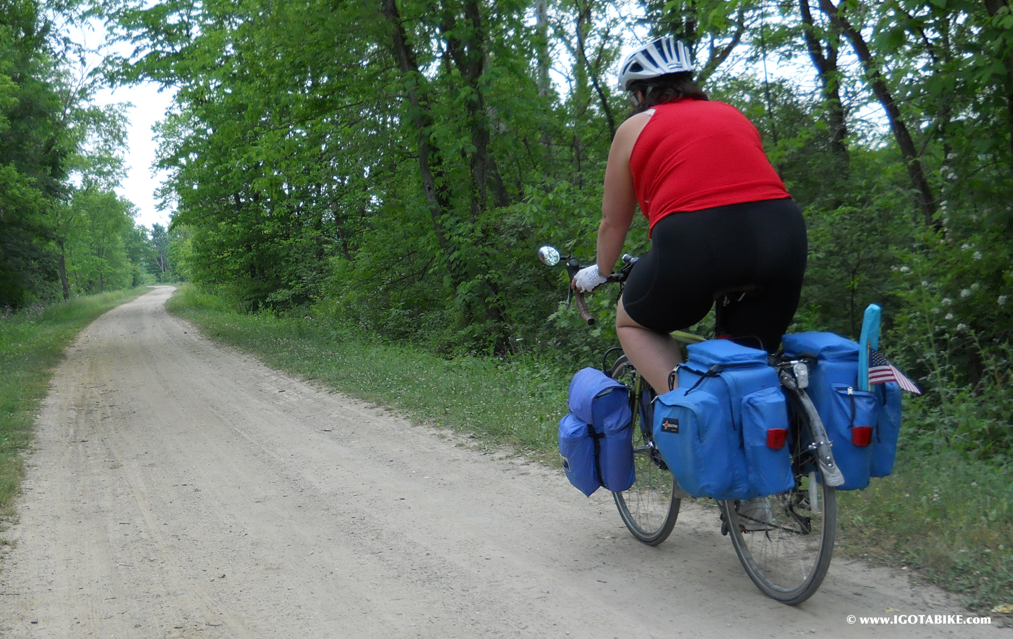
By “loaded,” Carolyn is referring to their panniers. These are the saddlebags used by long-distance cyclists. Carolyn and Guy use four on each bike to carry all their gear. It’s a heavy load, maybe 50 pounds of gear on top of each 50-pound steel-frame bike, but they’re glad to haul it — Carolyn’s a happy lady, a cyclist who landed the dream gig of assembling a proper map of the trail.
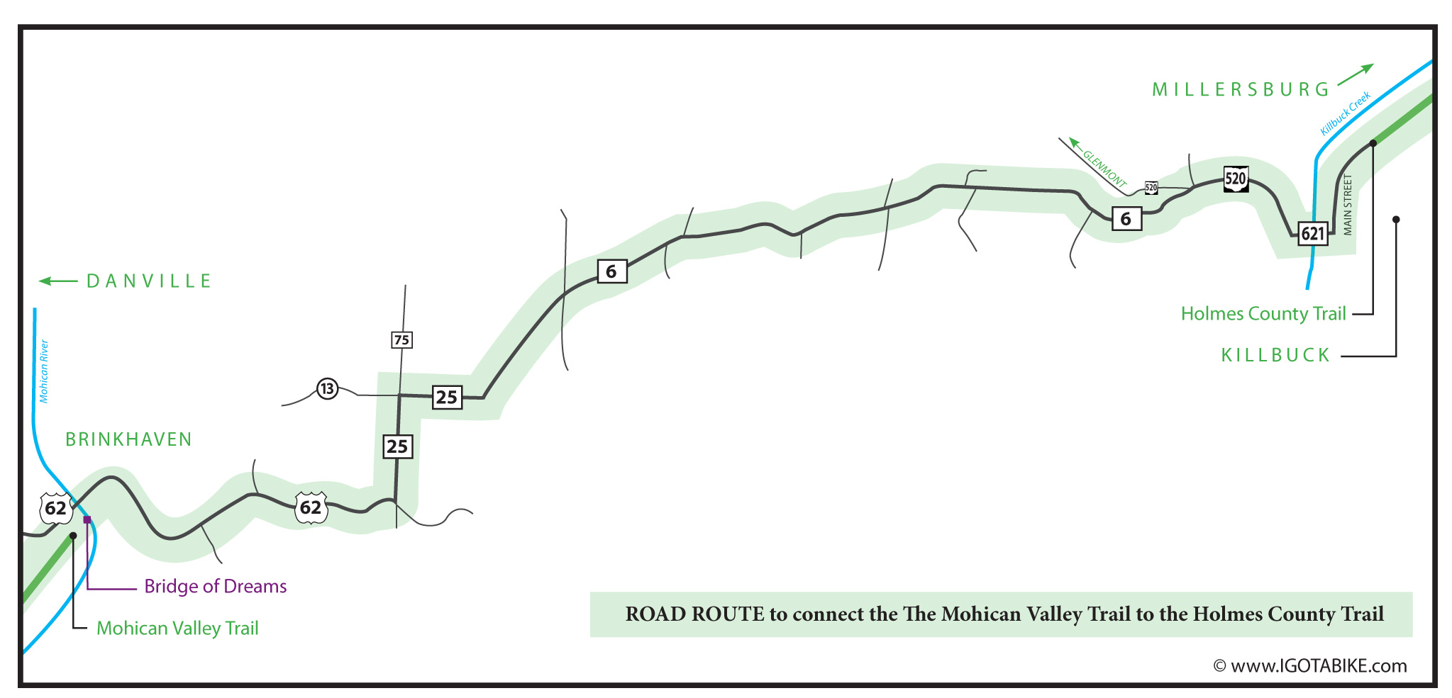
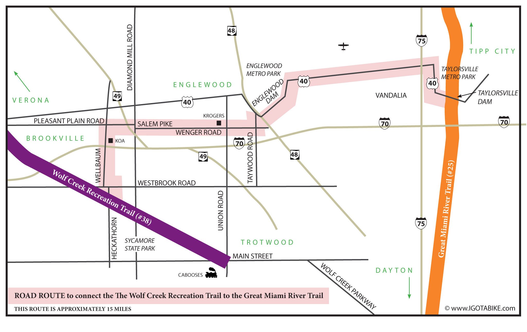
For those who have never ridden the snaky, shaky path from Lake Erie to the shores of the Ohio, it might seem odd that a map is needed for a single bicycle route. But the ride, like a miniature Route 66, meets many small towns along the way, and figuring your way between where the path ends on one side of town and picks up on another can be confusing. Jerry Rampelt, Executive Director of the Ohio to Erie Trail Fund, a non-profit that promotes community involvement along the route, says the new map, commissioned by his organization, will be an important tool for riders statewide. The Fund has been around since 1991.
“At that time, 21 years ago,” Rampelt says, “it was just an idea. Now, (the trail) is 84-percent complete. We work with those communities where it’s unfinished and help them get state, local and federal funding.”
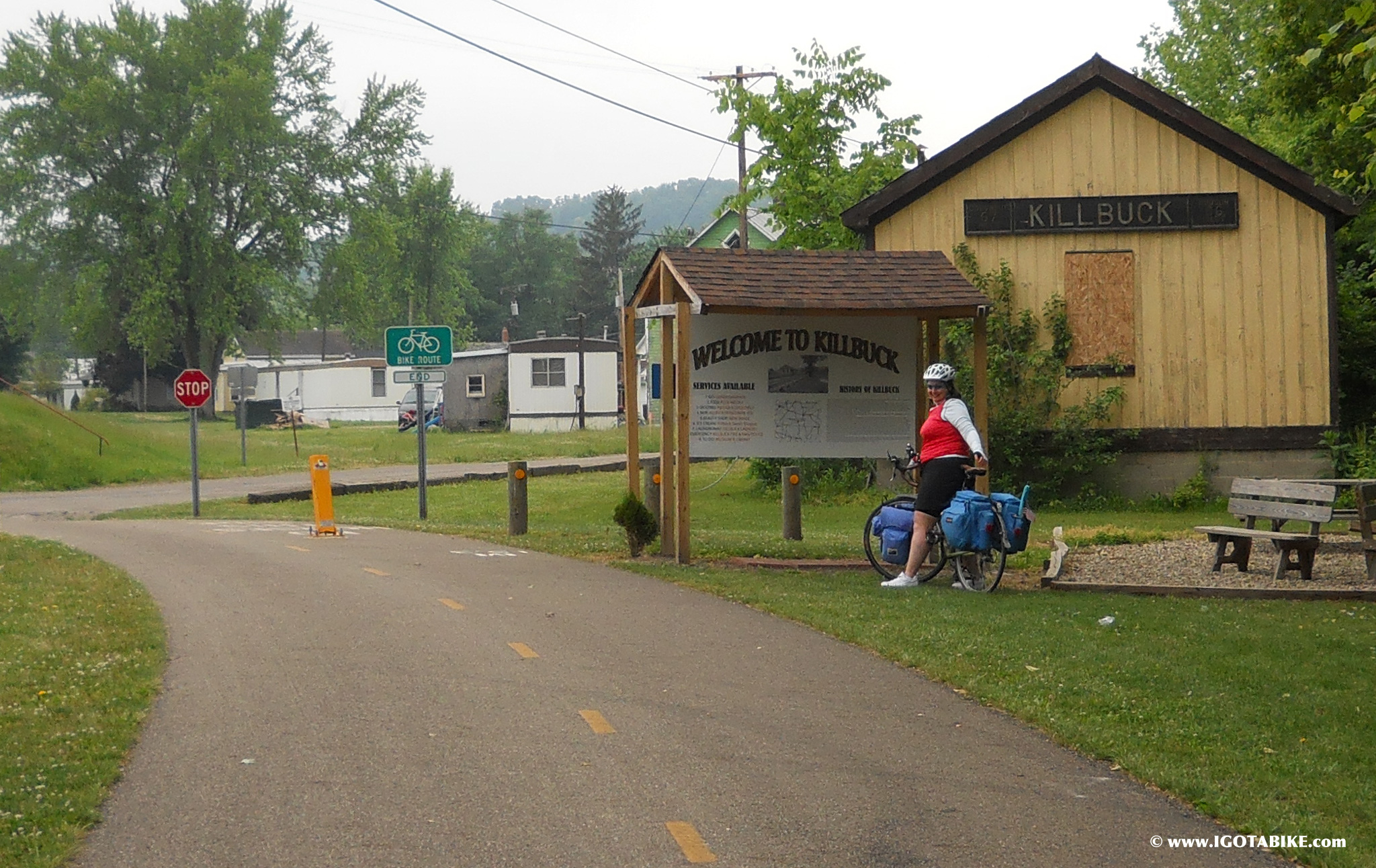
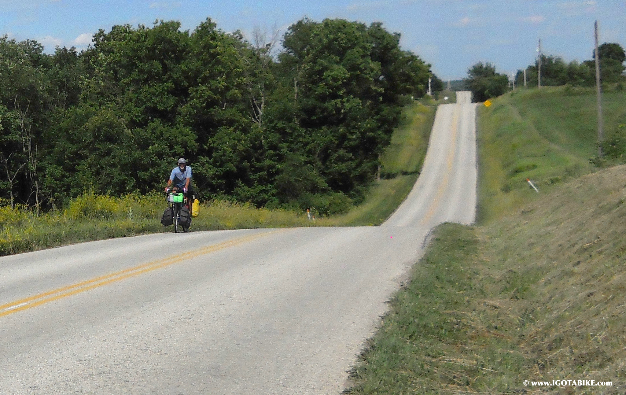
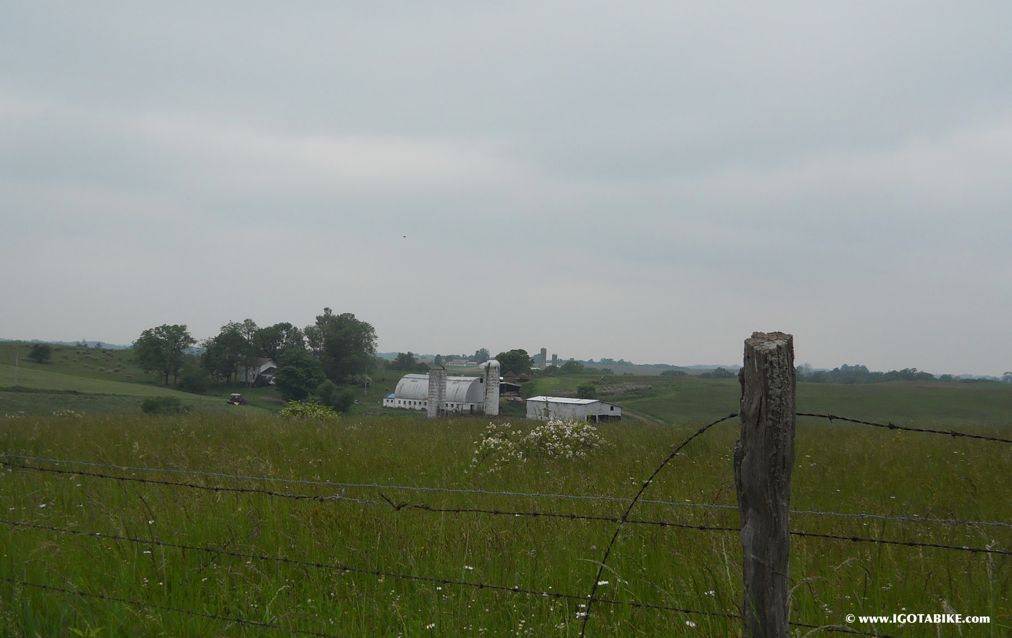
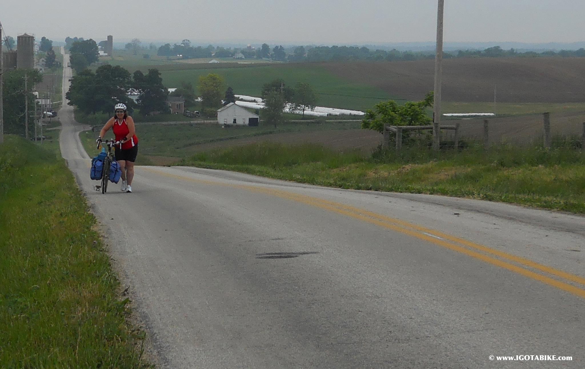
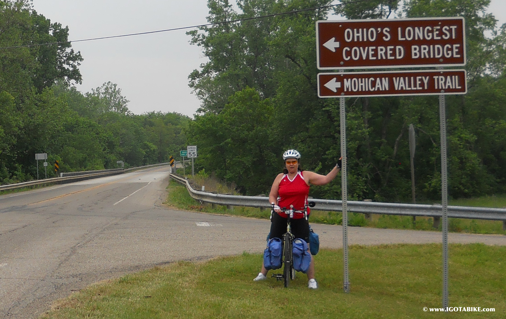
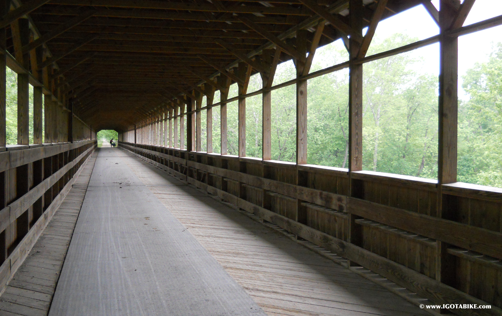
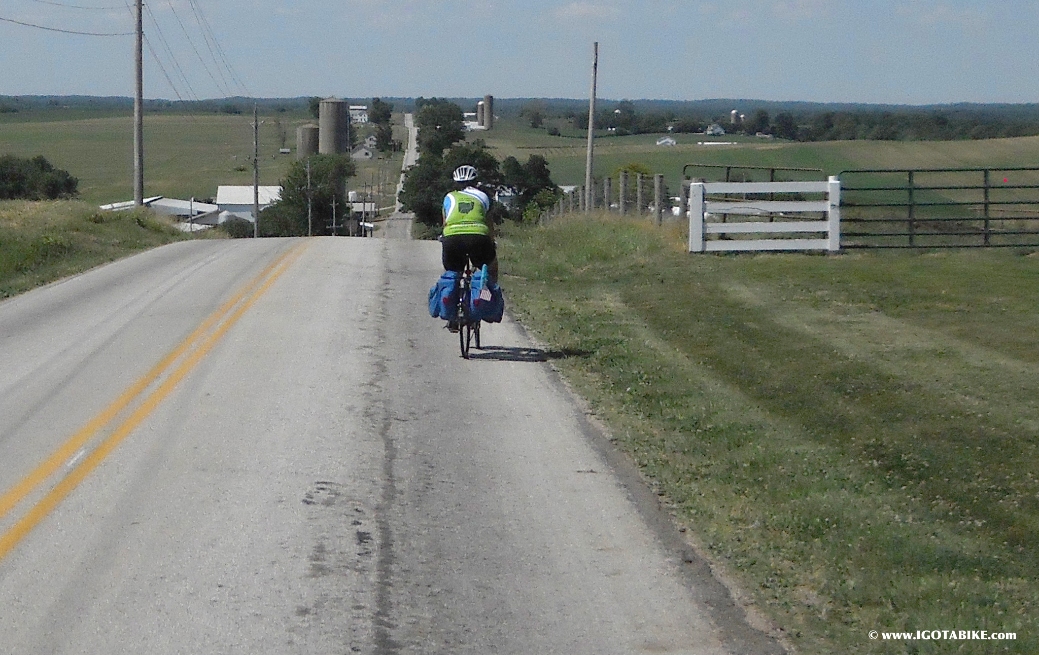
Guy and Carolyn’s ride led them through the old Ohio and Erie Canal Towpath, between Cleveland and Massillon and right down the middle of Cuyahoga Valley National Park, along which the intrepid can see a working lock and dam, ride a canal boat, take a train in one direction and bicycle back. There’s also the wildly hilly Amish country between Massillon and Mount Vernon, urban riding in Columbus and the long, flat ride through the meadows between London and Cincinnati. When you ride the whole thing, the homecoming part is the best and most cathartic leg of the journey. And Cincinnati is Carolyn’s hometown. She grew up in Monfort Heights.
“At our age now, we’re all about comfort, not speed,” Guy says. “That’s the whole idea with igotabike.com (their blog, which chronicles their adventures). You can do it. Anybody can do it. Look at us. We’re not Greg Lemond. We’re just average Joes. We slung some bags on our bikes and just go down the trail and do what’s comfortable. And that’s why we want to do the trail guide (the iPod app they are developing). Because it would be fun and the more people like us that they can get out to the trail, the better.”
Guy says they’ve met riders who have taken the trail in three or four days, but that misses the point as far as he’s concerned. “It’s not about that,” Guy says. “It’s about how slow can we take it, how many places can we hit along the way. We do not miss an opportunity to pull over and meet people we weren’t going to meet. We’re doing about 50 miles a day, and that’s a good clip for us. Up and down the trail there are so many places. We’re meeting people that say, ‘I can only do 30 miles a day or 20 miles a day’ and they’re in awe of us. And they can still get something out of this trail. You can go to this town and the next town over a weekend and come back. There’s things to see between here and there, but those aren’t on a map and that’s why we want to do the trail guide.”
“And everyone we meet on the trail has a smartphone,” Carolyn says. “That’s why we want it to be a mobile app.” Carolyn describes how they started off with small trips along the Ohio to Erie Trail and how each time they did it, their trips got longer and longer. It’s an addicting habit that expands into your life in all the right ways.
According to Rampelt, the map could be out as late as the end of this summer. The iPod app will come later, says Carolyn. She says the map should cure any issues with finding one’s way on the route and the app will help riders find all the hidden gems along the way.
One of the really cool parts of riding this incredibly scenic and geographically diverse strip of pavement is that nearly every rider you meet is joyous. It’s kind of the opposite of a traffic jam on I-75. Of course, nothing’s better than pulling in to the end of a long ride and standing star struck by what you’ve just accomplished. As Guy says with a smile, “We are 15 miles from Cincinnati and my sister-in-law’s in-ground swimming pool, unlimited ice cold beers and A/C. So it’s all on the downhill now.”
reprinted with permission
Photo: Stephen Carter-Novotni
Here’s a link to the City Beat story by Steve Novatni
On the Trail of Dreams
