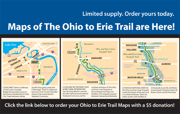
Guy and I are delighted to announce the big news! Printed Maps of The Ohio to Erie Trail are now available! They are the perfect companion to our IGotABike Ohio To Erie Trail Guide. The even bigger news is that they were designed by…you guessed it…me. It was a gigantic project that spanned several years and I enjoyed almost every minute of it.
The printed maps are available at the Ohio To Erie Trail website. Each kit contains all four maps that detail the entire 300+ mile bicycle route across the state of Ohio.
EDIT: the maps are for sale at the Ohio To Erie Trail website
