Last weekend Guy and I had a break in our schedules and a break in the weather and were itching to do another overnight bike tour. So I dug into the maps and tried to dream up a good route. Since we had been told by several cyclist that they had trouble finding the new Towpath route through Akron I wanted to go there to get a better understanding of the trouble spots.
We had enough time for three days of riding (Sat-Mon) but that is an odd number and makes there and back an obstacle. We had to settle for two days of riding. Turns out that was good—we needed the third day for rest!
Another obstacle is to get far enough away from the urban area where we live to find a campground that is close to a trail and accessible by bike. Another consideration was we needed to leave from our house since our truck is in the shop. (hello Ben, is it finished yet?) Also since it is late October daylight is short, basically 7 am – 7 pm.
We had the brilliant idea to once again utilize the fabulous Cuyahoga Valley Scenic Railroad and their Bike Aboard deal where you and your bike can ride the train for only $2. The train shuts down for the season at the end of October so it seemed appealing to get one more ride. The train runs Weds-Sun.
I found a campground east of Navarre that looked good. They have cabins so we could leave the tent at home. Pizza Oven delivers there so we left all the cooking gear at home. Nice, light load. I spoke to campground owner who told me the route from the Ohio and Erie Canal Towpath Trail out of Navarre to the campground was good for cycling. She has obviously never been on a bicycle. The seven mile on road route began after 50 miles on the Towpath and was straight uphill. Steep and long and one after another. Even that flat parts were on a significant incline.
We were stunned and a bit aggravated but maintained a cheery, steady, but weary pace.
I remember someone saying “we never should have tried this” and “we will never make it back to train on-time!”
In a situation like this you can’t help but thinking “I should have tested this route in my car.” If I had tested it in my car I would not have done it. We had a great time and it is a great story and a great memory. I also remember someone saying “wow look at those colors on the trees,” “the sky is so pretty,” “this trail is awesome,” “look its a: hawk, falcon, owl, doe, buck, another buck, ducks and more ducks, wooly bear, black squirrel, gray squirrel, red squirrel, rabbit, snake, great blue heron and so on.
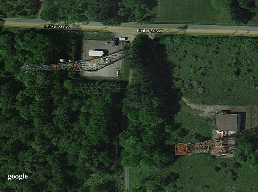
So we don’t regret the trip but we don’t necessarily recommend it either. I did learn some things about route finding. Towers are bad, usually very bad. They are always located at the top. When you look at google satellite everything looks so flat. In hindsight I see the towers that could have clued us in on the seriously steep climb. Also now that I am home I can see that on google maps there is a street view available of this spot. If I had looked at it I probably would have not selected this route. The streetview camera also tends to flatten things out but it gives you an idea of the terrain.
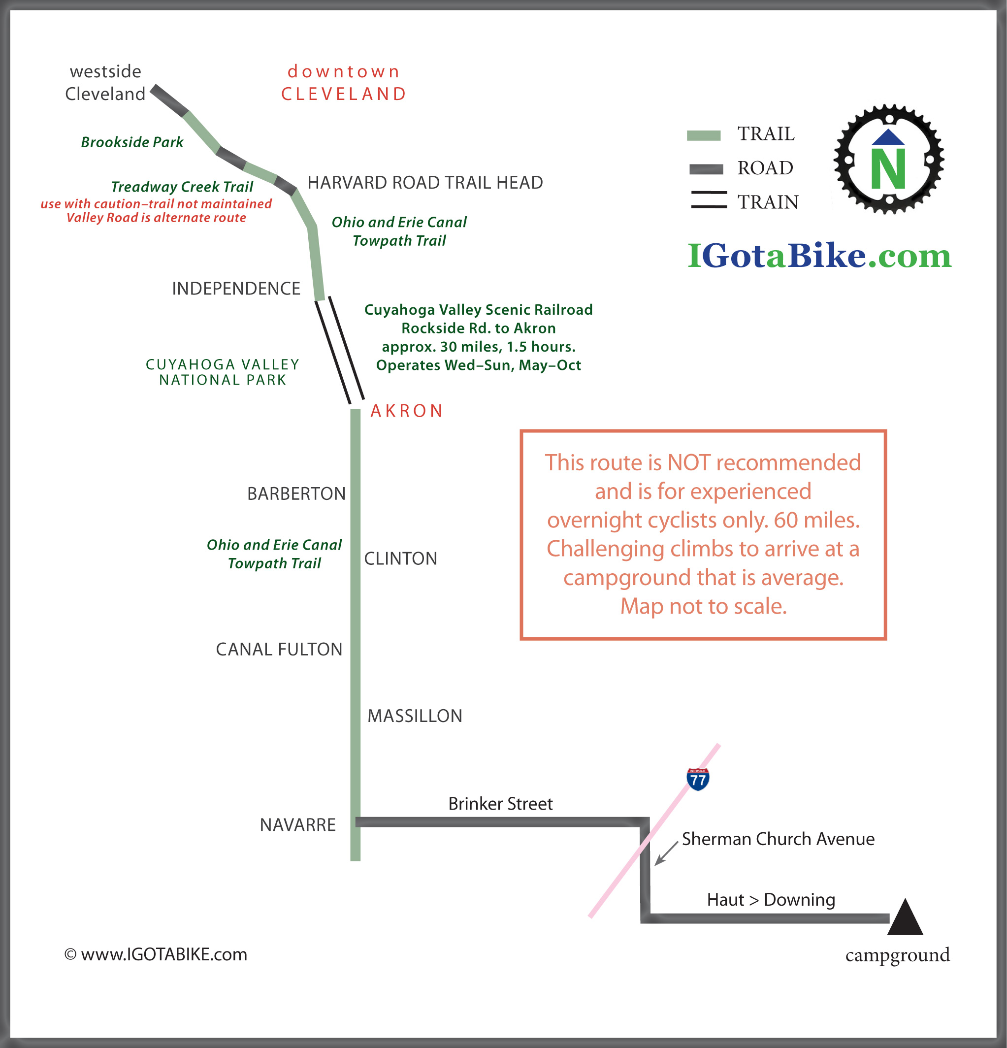
More of the story and many great photos to come. Even though the route is not recommended I designed a map to show where we went.
P.S. There are new signs that mark route through Akron. Way to go Summit County! We will update the Akron route details soon.

When you look a google satellite everything looks so flat. When you see towers beware! Towers are bad, usually very bad. They are always located at the top.

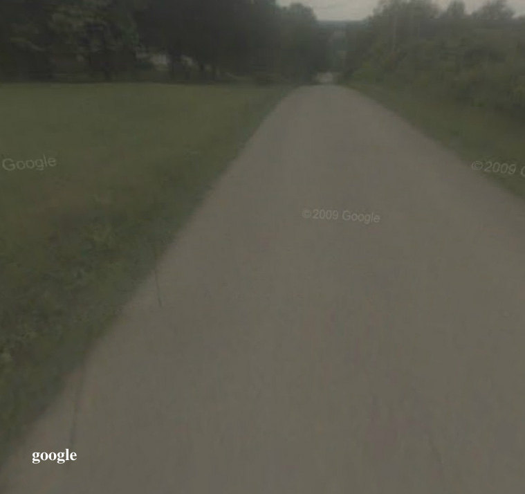
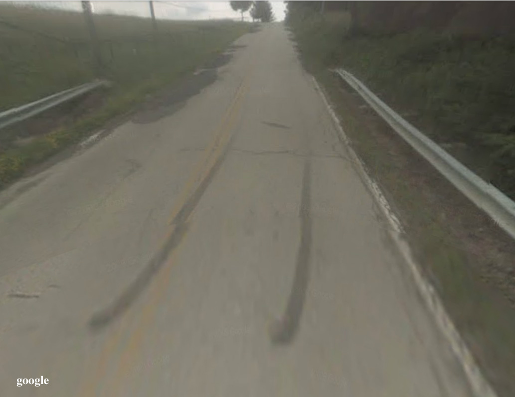
Even after we climbed up from the river valley to the towers there were still many more hills to come. This google streetview is looking east from in front of the towers and you can see the next hills in the distance.

Finally to the last turn onto Haut and it is uphill too. Its fun to look back at the route using google streetview.

Pingback: Fall overnight camping tour 120 miles: Cleveland to Navarre using the Cuyahoga Valley Scenic Railroad with Map SUB24O ish | IGotABike