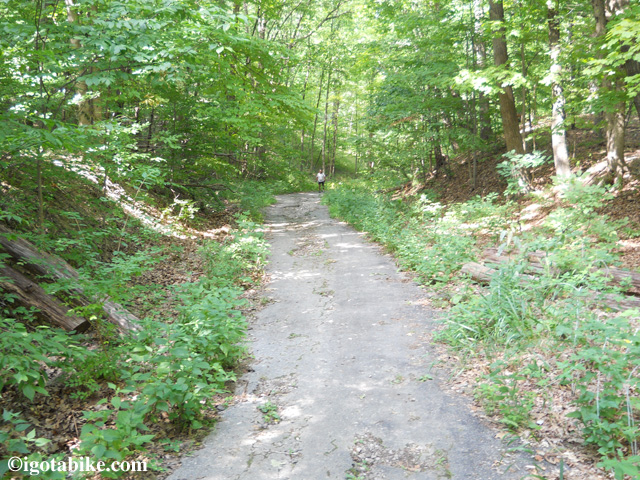
Carol and I went on a really fun ride today that uses both the Summit County Bike and Hike Trail and the Cuyahoga Valley Towpath Trail to create a nice 25 mile loop, suitable for the intermediate bicyclist. The route is mostly trail, with just a little bit of road riding to connect the two trails. It is best to ride this route in a clockwise fashion; south on the Bike and Hike, north on the Towpath, due to the rather steep 5% grade on Heinz Hill Road.
Here’s the map Carol designed of the loop. Click map to enlarge.
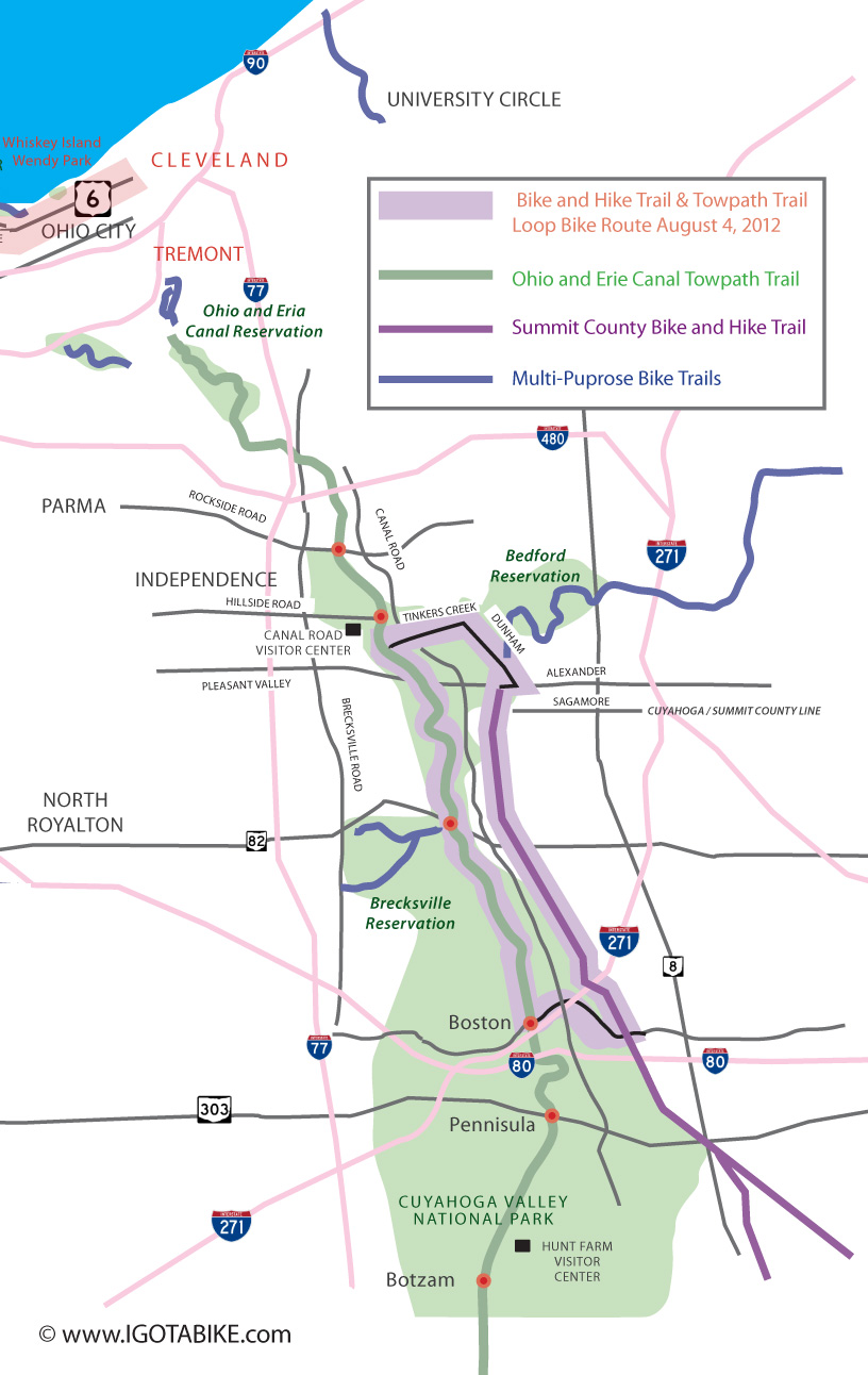
Igotabike.com loop map of Bicycle route using The Summit County Bike and Hike Trail and Ohio and Erie Canal Towpath Trail
Being a loop, you can start from any trail access point that is convenient to you. We started at the Canal Visitor Center 7104 Canal Road, at the intersection of Canal and Hillside roads, Valley View. From there we headed south on the Towpath approximately a half mile to Tinkers Creek Road, east. Tinkers Creek is a great road for cycling; flat, straight, not a lot of traffic. Follow it for about a mile and a half until you get to Dunham Road. Just before you get to Dunham, you will pass Tinkers Creek Tavern on your right. It’s an excellent stop for a lunch break.
At Dunham Road, turn right. The Astorhurst Golf Course and snack bar will be on your right and you will need to gear down to get up Dunham hill, now right ahead of you. The worst part of the hill is what you can see from the corner of Dunham and Tinkers Creek. The hill is short, but kind of steep and fairly narrow. Being passed by cars while climbing can be a little scary sometimes, but most drivers are used to cyclists on the road in that area. At the top of the hill is a gravel drive where you can pull off the road to catch your breath.
Continue up Dunham Road. It is still slightly uphill. Soon you will pass Egbert Road coming in on your left. If you choose, you can jump on the bike trail at this point, across Dunham Road to follow Dunham the rest of the way downhill to Alexander Road. We always just stay on the road.
At Alexander, turn right. Maybe about a thousand feet down the road, on your left, is the Bike and Hike Trail Head. Get on the trail and head south.
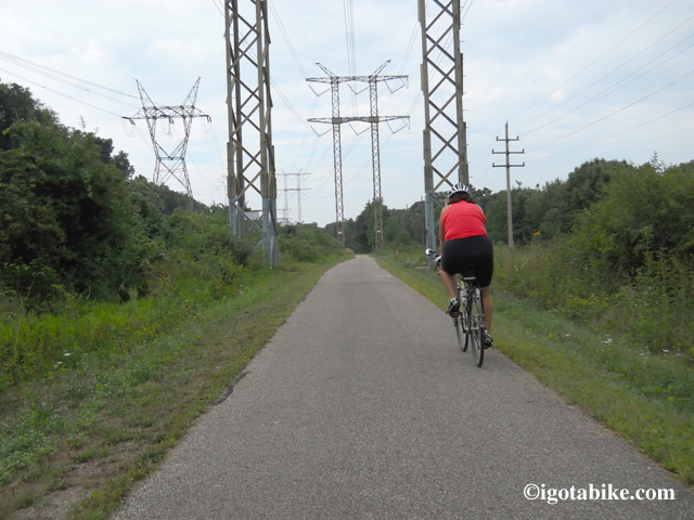
The Bike and Hike Trail is sweet! It is straight and flat and doesn’t have a lot of road crossings. There is usually nowhere the amount of trail users as down on the Towpath, so it’s a great trail to stretch out and get a good quick pace on. Fun!
The worst road crossing is at Route 82. It’s four lanes wide at 45 mph and is usually pretty busy. PLEASE be extra careful at this crossing. We would love to see some flashing lights and a marked cross walk here! (hint, hint, hint!)
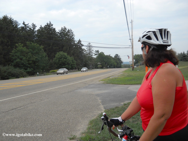
Looking west at the intersection of Route 82 and the Summit County Bike and Hike Trail. Caution required.
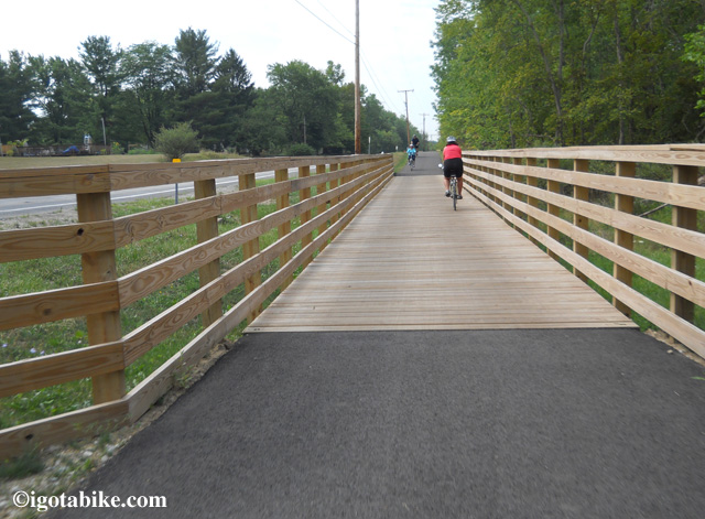
At Brandywine Road, the trail turns right and crosses four new wooden bridges on the way to Brandywine Falls. This section used to be on the road. Just before the falls, the trail dives into the woods and swoops downhill to enter the park (toilets, no water) from the back.
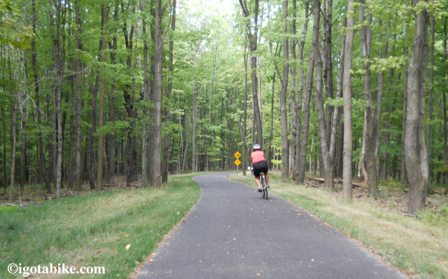
The new trail with switch backs replaces the dangerous and steep road route into Brandywine Falls. And its fun!
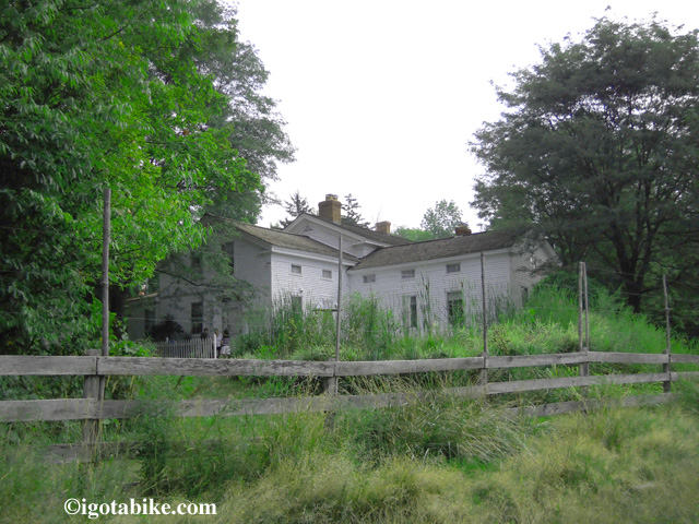
On your left is the Inn at Brandywine Falls B&B (the place with the chickens).
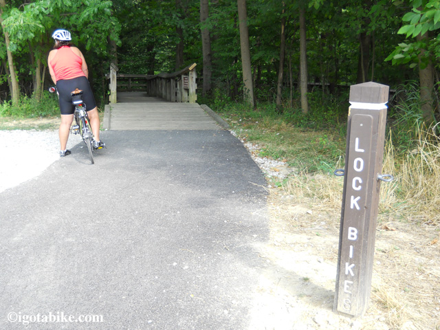
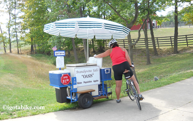
The falls are actually pretty cool, and definitely worth a look if you’ve never been here before. They have installed several “Bike Lock” posts so you can secure your bike and walk down the trails for views of the falls. Nice.
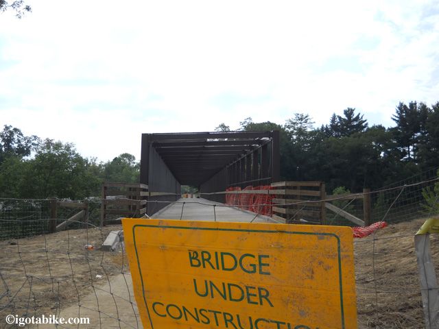
This is also where a new trail bridge has been installed to cross I-271…. but it’s STILL not open yet! Oh well, it’s back onto the road again, just to cross the bridge over the highway, then you’re right back on trail again.
EDIT: The bridge is now open as of 8/10/12
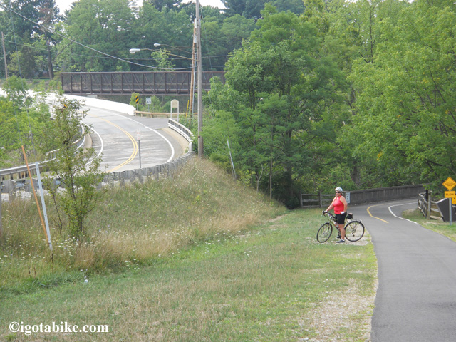
New bicycle bridge over I 271 is not open yet so you need to ride on the road for a few hundred feet
Very soon, you will come to Heinz Hill Road,. Turn right (west) on Heinz Hill.
(Every road crossing on the Bike and Hike is marked with a sign on the left hand side (?) of the trail, just a few feet before the crossing.)
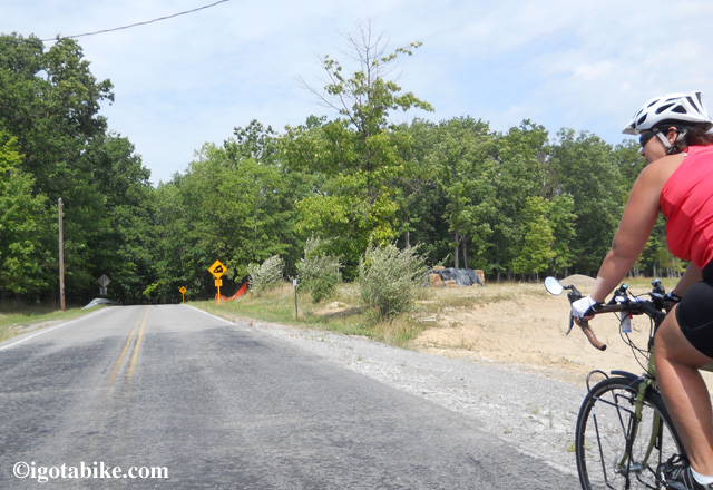
Heinz Hill is just that; a hill. Actually, about three of them. Going down Heinz Hill Road, you will appreciate why we said to ride this loop in a clock wise direction. There are several sections where the road twists and turns down a 5% grade. It’s a riot!
The bottom of the last hill (hill #3?), ends at a stop sign on Boston Mills Road, so be ready for it. Follow Boston Mills Road (to the right) just a few feet and you will be at the Towpath Trail at the Boston Towpath Museum. There is also a little store there, Trail Mix, where you can buy snacks and ice cream. Also, the Stanford House is nearby. It is a hostel and primitive campground. There is an access trail north of Boston on the east side of the trail.
At Boston, you will turn right (north) on the Towpath Trail and follow it all of the way back to the visitor center in Valley View.
Carol and I were hungry, however, so we instead turned left on the Towpath and rode into Peninsula, 2 1/2 miles away to get something to eat at Fishers. Peninsula is a great little town with a couple of places to eat, a Century Cycles Bike shop (rentals) and a Cuyahoga Valley Scenic Railroad train station. Adding the 2 1/2 miles back and forth, made our little loop 30 miles, with lunch. Give it a try and let us know what you think!
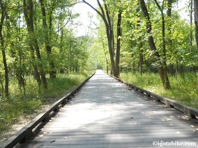
One of the many bicycle boardwalks along the Ohio and Erie Canal Towpath Trail. This one is between Boston and Pennisula.
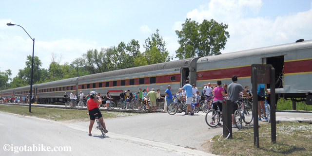
While in Penninsula we saw the Cuyahoga Valley Scenic Railroad loading up another round of bikes heading south. Cyclist and their bikes can ride the train for $2!
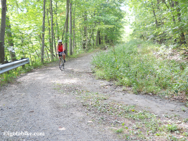
By the way, we looked into the possibility of using old Stanford Road, now closed to cars, as a connector trail in lieu of Heinz Hill Road. It’s not a good plan. It’s starts off as gravel and turns into old broken asphalt down a really steep hill. If you are young and adventurous, and have a mountain bike, go for it!
Also, keep in mind that a short section of Canal Road, from the Canal Visitor Center to Tinkers Creek is closed until sometime in the Fall. Not a problem when you are on the trail, but it may gum up the works if your are trying to get to the visitor center by car.
