NOTE: This description was originally posted with a typo. This route follows “County Road 6” not “State Route 6”
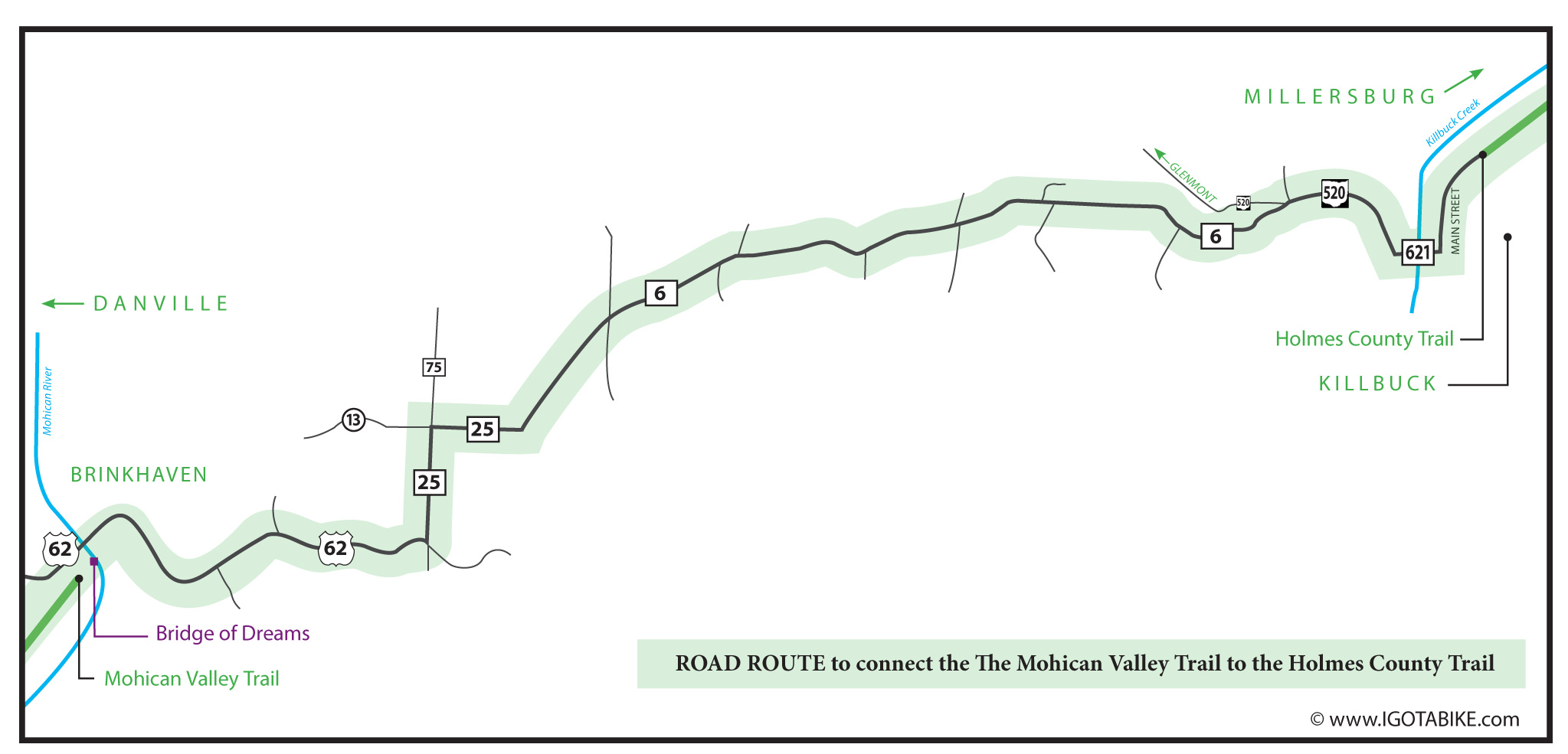
When following the Ohio to Erie Trail there is a road route that connects Killbuck and Brinkhaven. Killbuck is at the southern end of the Holmes County Trail. Brinkhaven is at the northeast end of The Mohican Valley Trail and is the location of The Bridge of Dreams. One day this section will be paved trail but for now it is one of the toughest sections and there is one spot where it is easy to get lost. Remember that the Ohio to Erie Trail is a dream effort organized by volunteers and its progress is constantly evolving. Do not expect clear signage at this time. Plans are in the works to improve signage along the entire length of the Ohio to Erie Trail but for now you need to know the route yourself. Make sure to bring enough water. I do not recall seeing anyplace to get water in this section. It took us about 3 hours. Others will be able to do it quicker. For us it was early in the 2012 tour and early in the season. We were heavily loaded and this was day 3 of 21!
(In 2013 it took us 2 1/2 hours.)
SOUTHBOUND
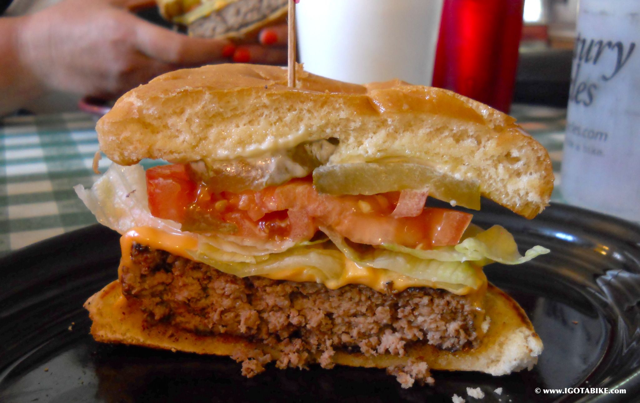
The route going south out of Killbuck is easy to navigate. When the Holmes County Trail ends turn right and follow Main Street. You will see a gem of a food stop, Killbuck Sweete Shop. They were friendly and generous with their water and ice. You can get ice cream or homemade food. Check this delicious burger! There is also a grocery store.
Turn right onto County Road 621 to cross Killbuck Creek. Turn right onto State Route 520 for a short distance to turn left onto County Road 6. Downshift, all the way. In my memory this was the steepest and longest climb of the entire tour. I made it 1/3 of the way up and had to walk the rest.
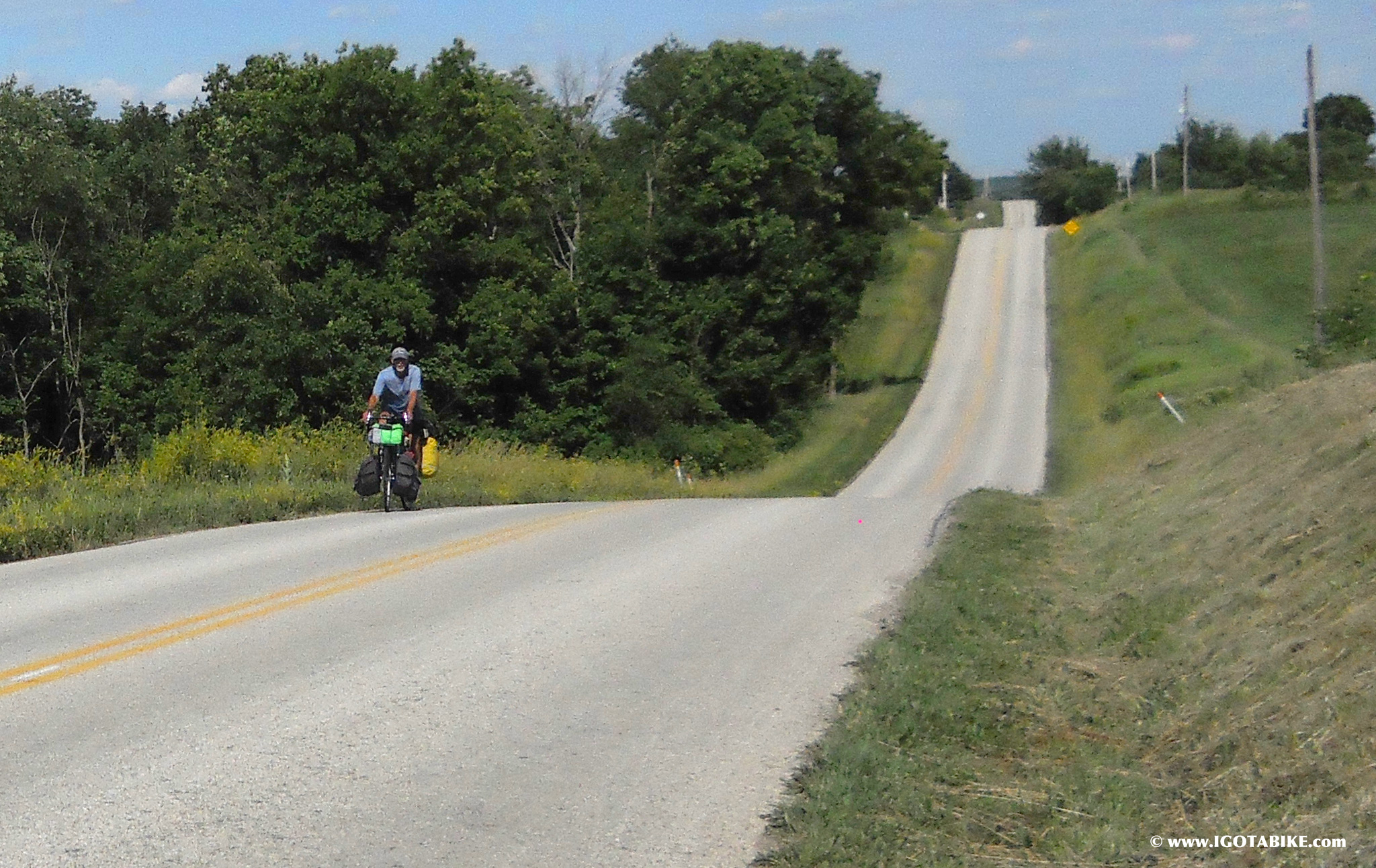
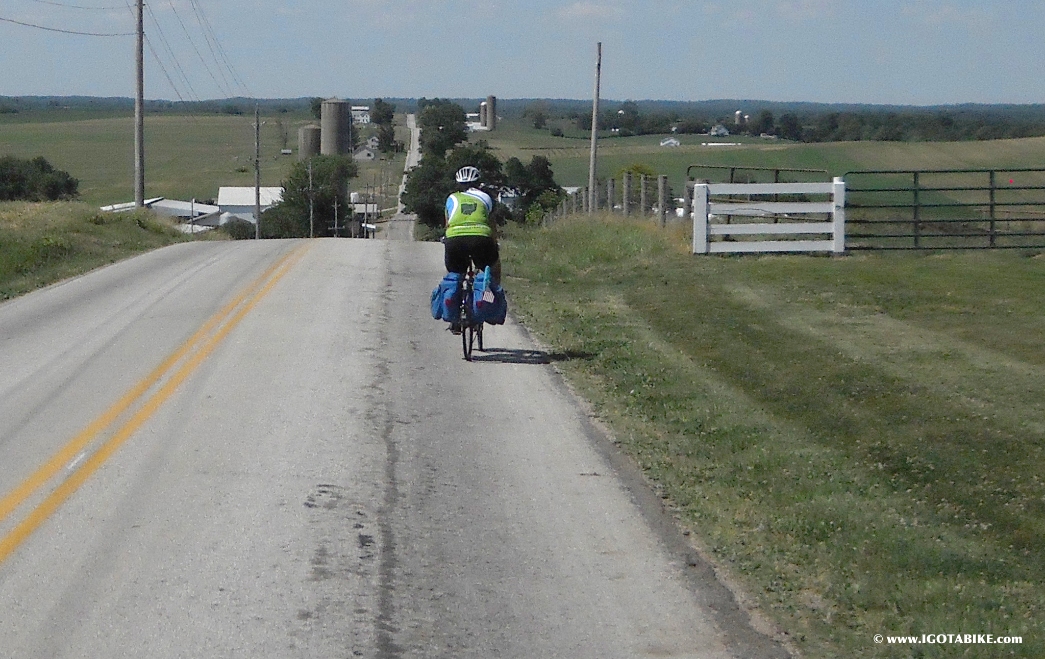
We met this fella and he had just rode up it all the way up. He had a giant load and he had been on tour for just over a year and looped the United States. He is from Cincinnati and plans on writing a book. We hope he e-mails us. This photo shows the rolling ups and downs of County Road 6.
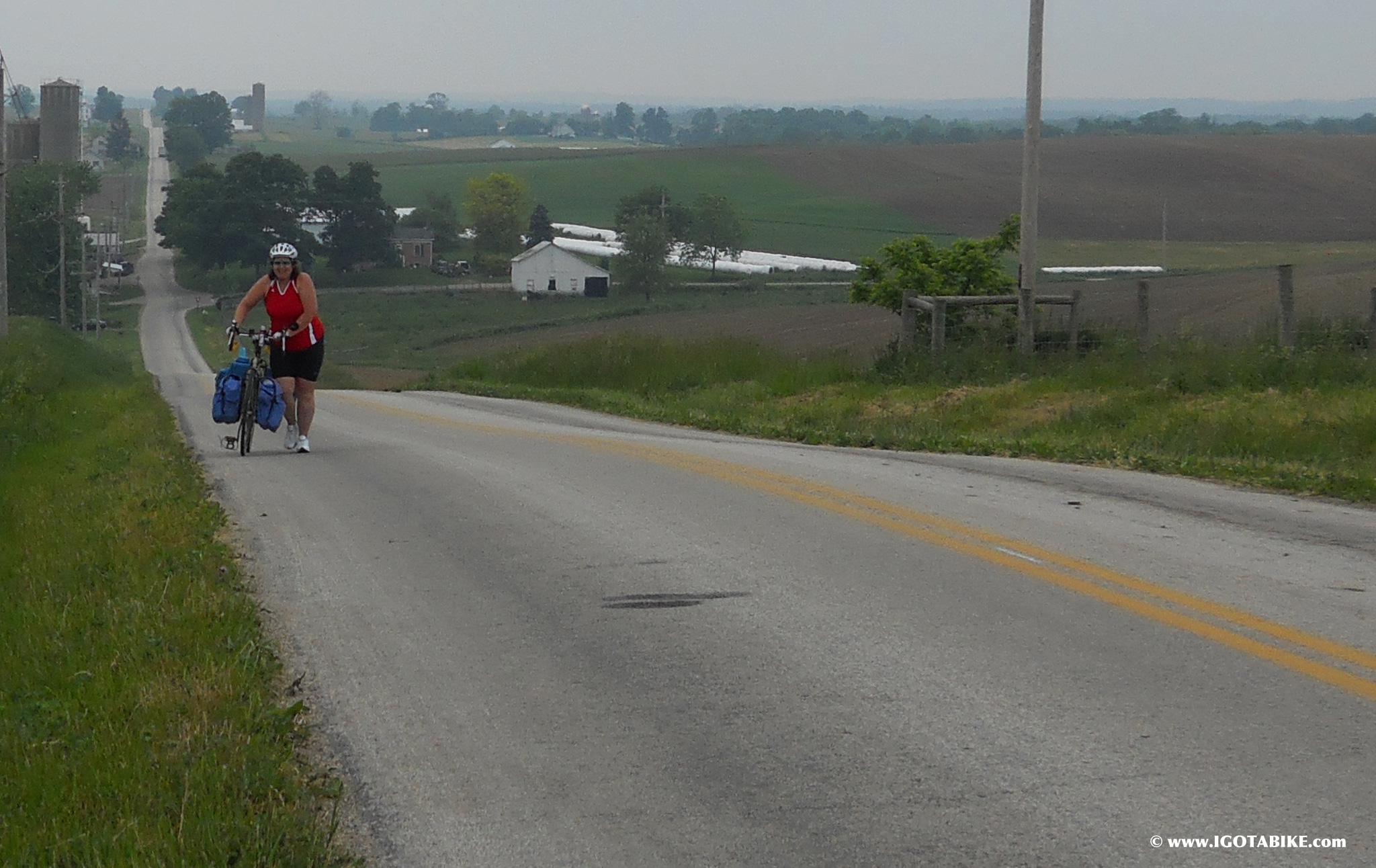
For the most part you can get enough momentum on the downs to have enough steam for the ups. I walked this one. Thank goodness it was cool and cloudy. Pushing a loaded touring bike is no bargain!
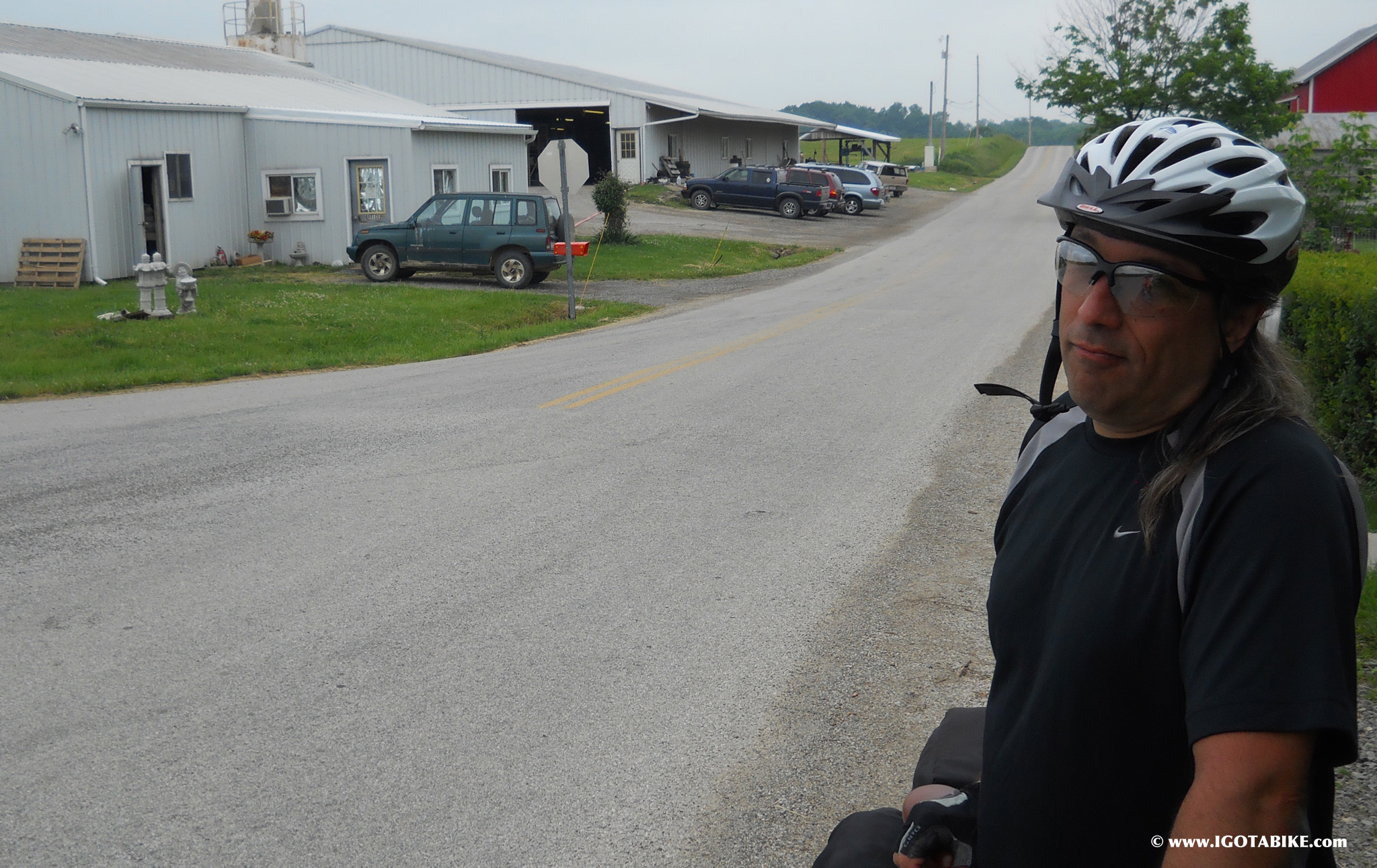
You will come across a statue factory. I wanted to get a concrete donkey but Guy said no. This is where you bear left and uphill onto County Road 25.
You need to make a hard left to continue on County Road 25 at the intersection of County Road 75 (on your right) and Township 13 (straight). There is a beautiful historic home on the corner.
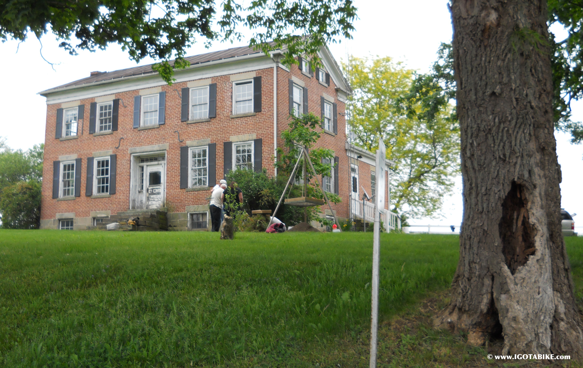
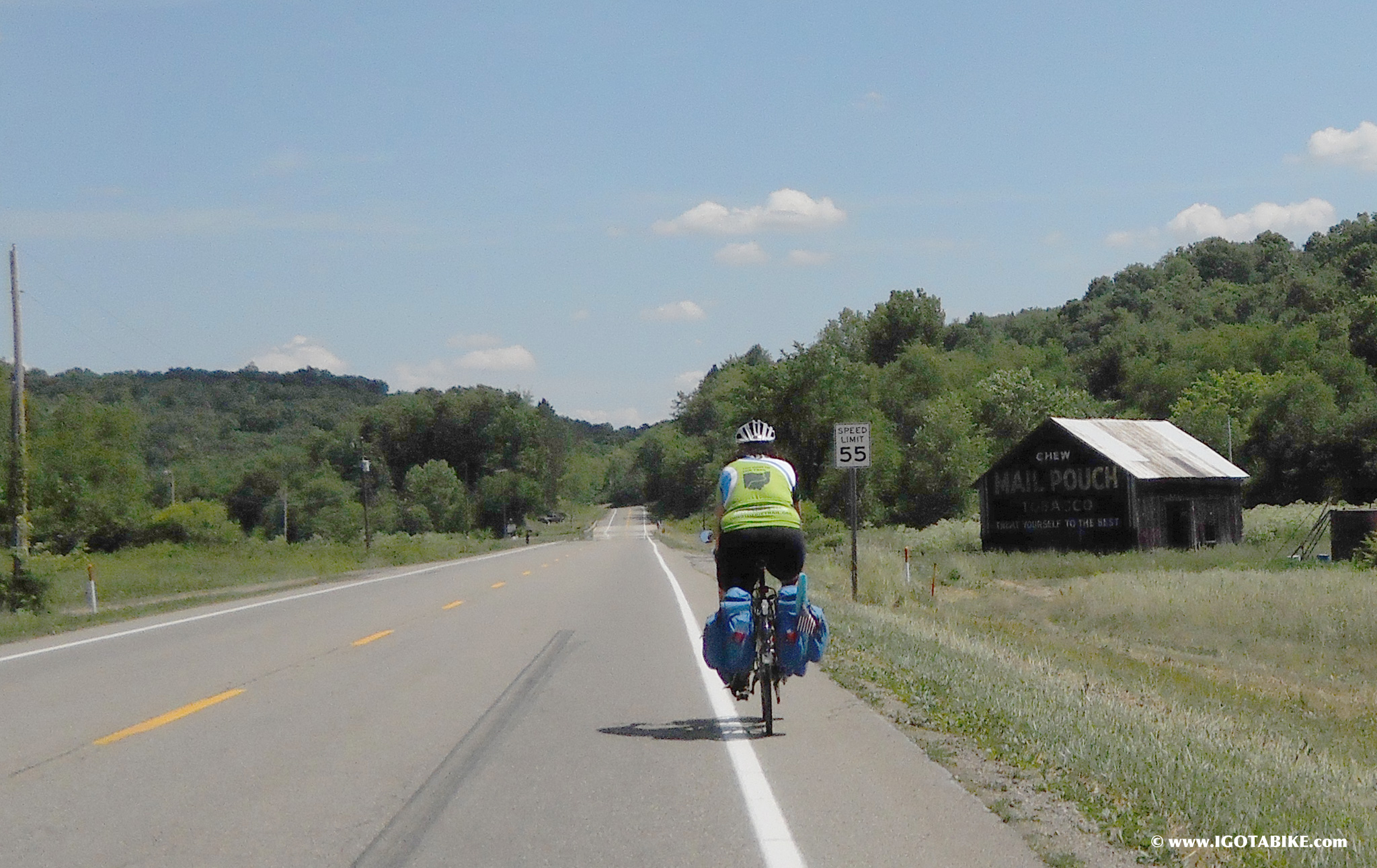
The next place to turn is onto US Route 62 also know as Millersburg Road. Take a break here and gear up. Its a long downhill stretch. There are big trucks and its 55 MPH. Watch out for those buggy ruts. Guy writes about this section HERE.
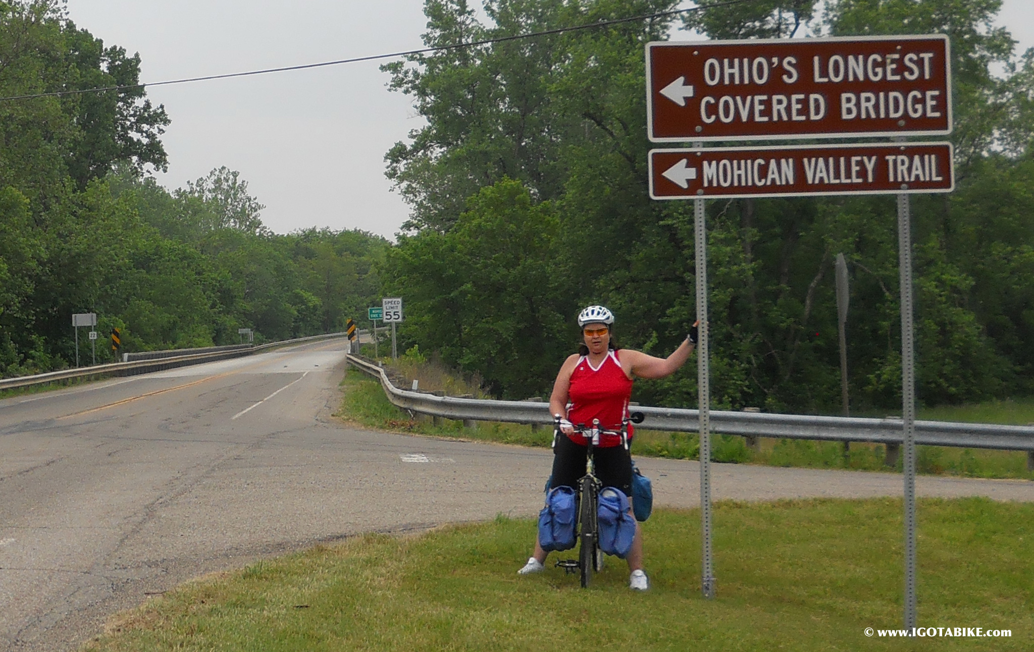
At the bottom you exit Holmes County and cross into Knox County. Now you are just outside of Brinkhaven and soon you will come to The Bridge of Dreams. Here you will need to decide to use the bridge and the unpaved Mohican Valley Trail or continue on Route 62 to get into Danville. There are two significant hills to climb on 62 vs. lots of bumps and deep buggy ruts under the loose baby powder like dirt trail. Remember it is only 4 miles and on the other side is the fabulous Kokosking Gap Trail!
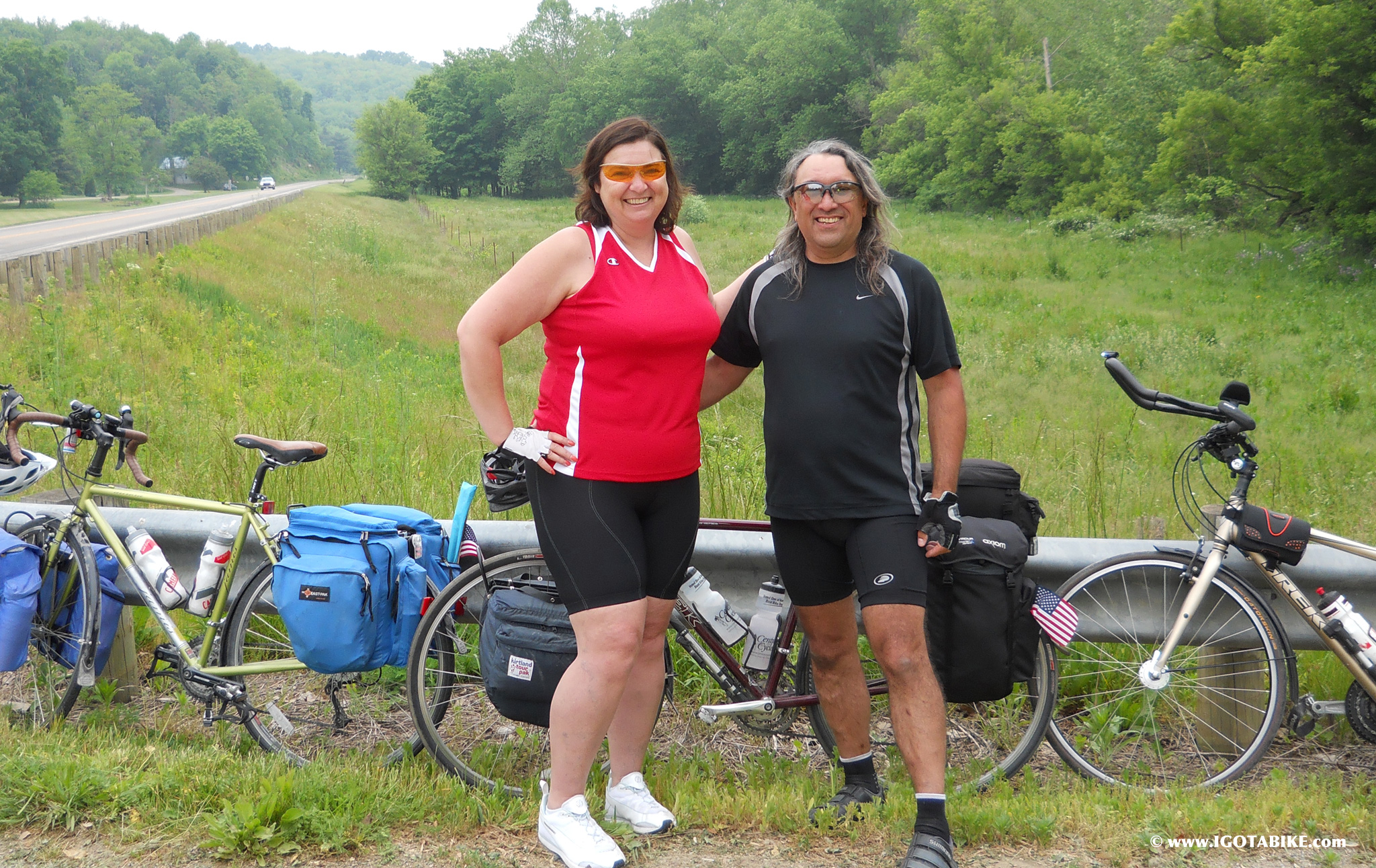
This is where we met Rick and Briley
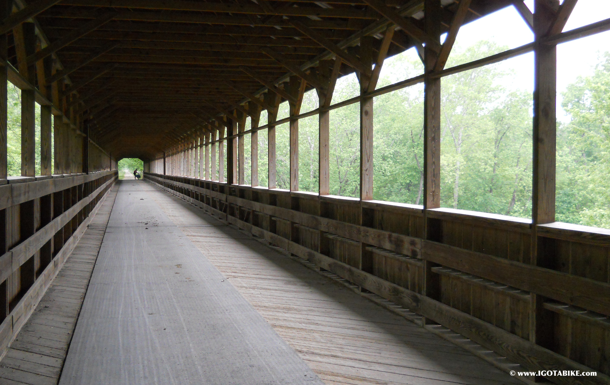
That is Carol way on the other side of The Bridge of Dreams that crosses the Mohican River and begins the Mohican Valley Trail.
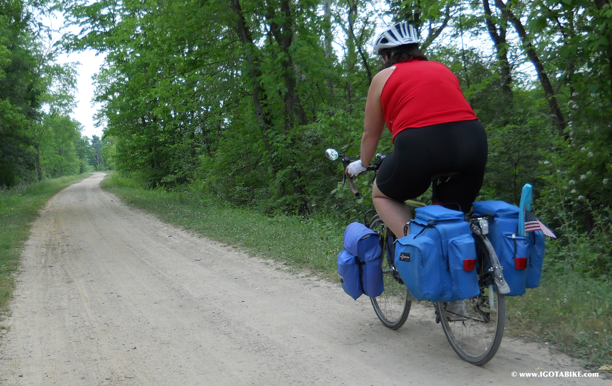
This is the Mohican Valley Trail and probably where I messed up my hands holding on too tightly. Under the fine dirt are ruts and bumps making it very challenging to keep our fully loaded touring bikes going straight. This trail is probably a blast on a mountain bike or a horse.
NORTHBOUND
We used US Route 62 instead of the Mohican Valley Trail going north and it was fine. It was around 2 o’clock in the afternoon and the traffic was light. There are lots of buggy ruts. The climb up Route 62 to County Road 25 was significant but doable. Remember to bring enough water for a couple of hours of hilly terain.
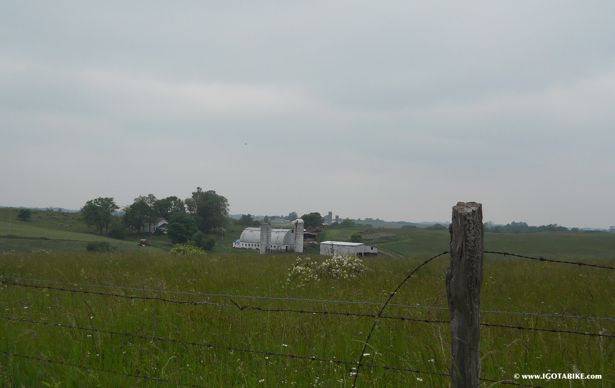
The intersection of County 25, County 75, Township 13 is tricky going north. There is no sign to tell you to turn right to continue on County 25. See photo of historic house above. (Note: in 2013 they installed a sign for CR 25 at this intersection but the historic house is still a good landmark). Pick up CR 6 at the concrete statues. This section is easier going north, or I was stronger. Be ready for the last big downhill to State Route 520. It is steep and of course there is a stop sign at the bottom. Turn right onto State Route 520. Turn left onto County Road 621 to cross Killbuck Creek. Turn left on Main Street to get to the Holmes County Trailhead in Killbuck.
Pingback: Ohio to Erie Trail: Killbuck to Brinkhaven Map | IGotABike
Pingback: Ohio to ErieTrail Description | IGotABike
I rode this the week of July 9-13 solo, Ouio River to Lake Erie. I had a great time. This is a very familurr place. In Dnville I was told just to keep following the old train bed and that it would get me to the same place. I crossed 62 at this barn and followed abandoned train bed untill I came to signs saying the trail was closed. I was on County road 27 near where it becomes County Road 25. After asking a couple of people they helped me get back on track. I unfortunately missed Kilbuck but stayed on 62 all the way to Millersburg. I even stayed at the Comfort Inn; a nice place to stay after an 80 mile day!
Thanks for writing. We love to hear from people who have peddled the Ohio to Erie Trail. It is not clear to me where you lost the route but I understand how easy it is to get off track. I know that there is an abandoned rail road that at one time was somewhat passable with a mountain bike. This is the only place I know where the trail is marked as closed. I have heard that this will one day be opened to go from Killbuck through Glenmont.
We would love to hear more about your adventure. Did you do any camping or did you stay in hotels. What kind of bike where you riding? What gear did you carry? How did you get back? What was the best / worst part?
It sounds like you found igotabike.com after your return. How did you find your way? Did you use maps or a smart phone? Is this the first time you rode the Ohio to Erie Trail?
I stayed in hotels; in Cederville at the Hearthstone Inn, and with my brother in Columbus, The Comfort Inn in Millersburg, and the Quaker Square in Akron.
I was riding a 2011 blue Surly LHT frame that I built up with older MTB parts. I had a small handlebar bag, and Ortleib classic rear rollers. I carried bike tools, cycling clothes (more than I needed), one pair of street capris and gym shoes; a book, a small camera and an iphone though I used maps for the trip. Oh, I also carried a frame pump and two 25 oz water bottles as well as a 50 oz. Camelbak. I had a brother traveling who picked me up in Cleveland. I downloaded the PDF maps at the Ohio to Erie website and printed them out. I carried each days map pages in the handlebar bag and kept the rest with my clothes. They were too general and the street names were writtten too small but this forced me to stop and talk to people in every small town along the way, not something I’m very inclined to do normally, and that might have been the best part. The most difficult part was riding the gravel trail to the Bridge of Dreams and the dirt trail beyond it till it ran out. I was riding on slick 26×1.6 tires. The worst part was trying to get food in Akron when it was about dark and I didn’t want to be out walking around alone after the sun went down.
I used the map print outs except for the point at which I was lost then turned on the iphone for general directions to get me back on track. I stopped at the first bike friendly place I saw to make sure I was going the right way. Yes, this was my first taste of multiday touring and the first time riding this route.
Pingback: Mary rode The Ohio to Erie Trail in July 2012 | IGotABike