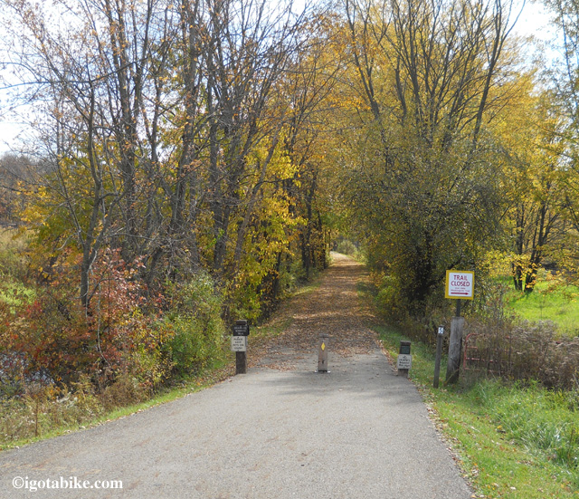
Heading south on the Ohio and Erie Canal Towpath in October 2012 we followed the detour sign south of Canal Fulton directing us to use the Olde Muskingum Trail and it was rough! Scenic and secluded but bumpy and mostly two track. On the return we stayed on the towpath and discovered that it was open, urgh. The detour is between Butterbridge Road and High Mill Avenue where there is an old bridge that crosses the river that is closed to motorists. The Towpath Trail is on the east side of the river and the Olde Muskingum Trail is on the west side and runs between Cherry Street in Canal Fulton and Forty Corners Road. When we were going north we saw other signs with garbage bags over them. Maybe there was supposed to be bag over this sign. How about some tape!