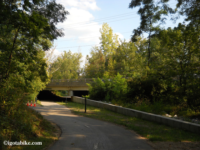
There was no sign to mark the exit from the Alum Creek Trail to Schrock Road when we were there in August 2012. The trail going under the bridge is your landmark. There is a new green metal 4 x 4 post on the right marking the the exit to the left, past the orange construction cones. Continuing foward under the bridge takes you under Schrock Road and further south on the Alum Creek Trail. Currently, The Ohio to Erie Trail exits here, to the left, to get up to the road, and turns right to cross the bridge and follow Schrock Road to connect to the Olantangy Trail.